AFM NEWS
Harnessing GIS for Smarter Timber, Wildlife, and Conservation Decisions
By Jennifer Hunt (Content Writer) and Will Woodroof (Technical Services Manager)
Geographic Information Systems (GIS) is a computer-based technology that allows users to store, manage, analyze, and map all types of data. It has multiple day-to-day applications throughout our world, including map creation, emergency response data, public safety crime analysis, and more. In forestry, GIS provides data that is vital to understanding current forest conditions, such as topography, locations of streams and stream crossings, current roads, and loading decks. Without this data, we wouldn’t be able to advise clients on harvest operations, support conservation and sustainability, or respond to natural disasters. With this in mind, let’s delve into all the benefits of GIS in forestry and explore new frontiers in AI applications.
The Building Blocks of GIS
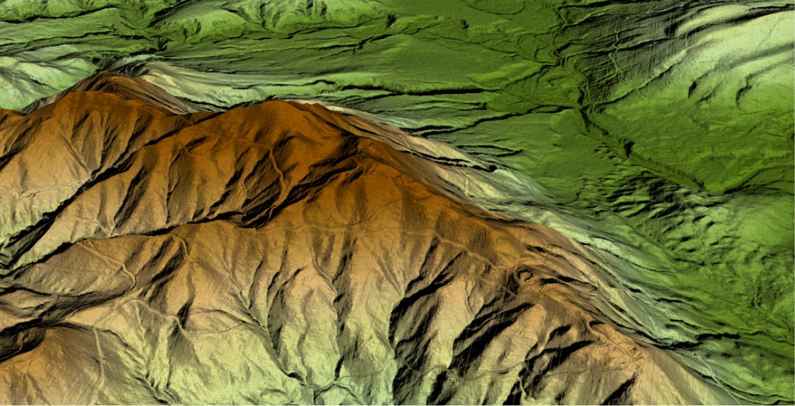
At the core of GIS are two main types of data: vector and raster. Understanding these is instrumental to seeing how GIS turns raw data into actionable insights. Vector data can be explained simply by representing a feature with a point, a line, or an area, often referred to as a polygon. With each vector feature, you can create attributes about the features it represents to explain the features further. Raster data, on the other hand, is a grid of cells or pixels. Each pixel can be assigned a value that represents a specific attribute; for example, aerial imagery, digital surface, or elevation models. This data can be created or captured from numerous methods and sensors. GIS allows all of this data to be viewed on one canvas or map and modeled in 2D or 3D. Having this information at the ready will enable foresters to make better decisions in the field and advise clients on operational and management decisions.
How GIS Helps Us Manage Every Aspect of Forestry
Once these data types are combined in a GIS system, they become powerful tools for forest management. They allow foresters to see all the features of a property, including tree age classes, conservation easements, environmentally sensitive areas, current tree stocking and volume conditions, and property boundaries, and advise on locations for new roads, stream crossings, loading decks, etc. With the proper data, it provides answers to the five W’s (who, what, where, why, and when), and speaks particularly well to “where,” which is essential in making and executing management plans that are best suited to the land. In forest operations like harvest planning, GIS provides easily accessible datasets of all the land a forester manages. From there, they can send stands (or vector data polygons that represent forest conditions) to a harvester to easily see where the operation should take place. Not only does GIS set up harvest locations and operations, but it can also track the quality of operations through data gathered by foresters and submit site visit data, which will also be used in reforestation and planting. However, GIS isn’t standing still. Emerging technologies like remote sensing and AI are taking GIS’s application to the next level.
The Next Frontier in Forestry Technology
One of the most exciting technologies in forestry today is the use of Artificial Intelligence (AI), especially Machine Learning and its advanced form, Deep Learning. Thanks to tools like satellites, drones, and other remote sensors, foresters now have access to enormous amounts of data, which are often updated quickly and in great detail. At the same time, advances in computer power, especially with graphics processing units (GPUs), have made it possible to process that data faster than ever before.
Although the theory behind Deep Learning has existed for decades, it’s only recently that the technology has caught up enough to put it into practice. With the right amount of training data, AI models can now be “taught” to recognize patterns in forests and help with supervised learning; for example, identifying tree species, spotting pest outbreaks, or predicting fire risks. The result is smarter, data-driven decisions in forestry and natural resource management, helping professionals respond quickly and accurately to changes in the landscape and respond to a client’s desire to be stewards of the land.
Disaster Response and Environmental Stewardship Through GIS
Since AFM manages millions of acres of land, it would be impossible to manage it effectively and respond to natural disasters like wildfires and hurricanes without a proper Enterprise GIS system. Field crews collect data and submit it to a cloud server database. Paired with the real-time data through available sensors like drones, satellites, and aerial photography, GIS analysts have all the components needed to quickly and effectively respond to natural disasters. With this information, they can deploy resources where they’re needed the most and respond to disturbances quickly. Additionally, suppose a property is enrolled in a certification program such as the Sustainable Forestry Initiative® (SFI®), the Forest Stewardship Council® (FSC®), or the American Tree Farm System (ATFS), or is part of a carbon sequestration or conservation initiative. In that case, GIS can map and track all the operational and management standards required. This ensures landowners meet program qualifications while supporting long-term sustainability and conservation goals.
The Future of Forestry is Data-Driven
At AFM, GIS helps us manage land at a large scale with precision and unparalleled insight. From guiding daily operations to preparing for natural disasters, GIS ensures that our clients’ forests are managed with the best, most up-to-date information available.