AFM NEWS
What is Timber Cruising?
After a landowner has determined the goals and objectives for their land (harvesting timber for revenue, creating wildlife habitat, restoring ecological systems, sequestering carbon, etc.), it's time for a timber cruise. It would be nice, but it's impractical for a team of foresters to tour a tract and measure every single tree. Instead, administering a timber cruise reliably estimates a forest's descriptive characteristics, such as volume, weight, carbon, quantity, size, species, and quality of trees calculated from a population sample within a specified error. In addition, foresters are aided by technological advancements in remote sensing, such as LiDAR and drones. Both produce readily accessible high-resolution data and satellite imagery, coupled with enhanced computing capabilities (processing speed, machine learning, AI, software, etc.) and refined statistical techniques. As such, there are specific steps to a timber cruise with various technological benefits and deliverables.
What are the specific steps to conducting a timber cruise?
Just as you might enjoy a walk in the woods and record (even just mentally) your observations, the way a forester cruises timber is similar, but uses several specialized techniques to help them translate those observations into data entries. Just as you would bring a bag filled with snacks, water, and a first aid kit, foresters come prepared with various tools to help them record necessary data. Foresters develop a cruise plan, which helps them know where to stop, collect data and make observations, typically called sampling plots. While in the field, foresters record observations such as tree diameter at breast height (DBH), total height to the top of the tree, merchantable height, and quality. Once the forester has executed the cruise plan, they return to the office with their findings to analyze the data further.
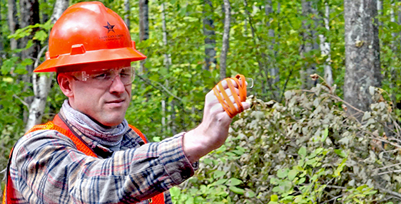
What kind of technology is used on a timber cruise?
Technology is not infallible, as any current and former career professional can testify. You drive through a dead zone, lose your internet connection, or your device has hit its shelf life. This can be especially true in the woods, so instruments in a cruiser's vest are the tried-and-true tools for gathering data. The vest usually includes a basal area factor (BAF) prism, logger's tape (retractable measuring tape worn at the hip), pencil and paper, maps, bug spray, compass, flagging tape, walking stick, rangefinder or clinometer, data collection devise, and a GPS. Despite the occasionally fraught relationship between technology and nature, electronic data collection has become increasingly vital. Foresters are quickly embracing the use of mobile apps and data collection on a tablet or smartphone because these tools improve cruise efficiency and the quality of reportable data. Recent advances in remote sensing can leverage LiDAR and camera-equipped drones and backpacks to aid in tree data collection. Additionally, machine learning and Artificial Intelligence (AI) are becoming commonplace in processing cruise data to develop forest inventories.
What deliverables can you provide to clients?
Clients interested in final volume/weight per area or total property basis and the corresponding value of the timber are given in a spreadsheet or PDF, which is an easily consumable dataset. Similar deliverables are created for cruises specific to carbon, stating the estimated amount of carbon stored in the trees. For those interested in plot data or remote sensing data, the work-up summaries include tree or species level volume/weight estimates by stand, tract, property, etc. Using remote sensing products such as point clouds or imagery can also be delivered along with derivatives of those data products when developed.
How does a timber cruise help clients make decisions about their property?
Think of your local grocery store. The managers continuously monitor inventory so they know what to stock. At its core, timber cruising provides an estimate of what forest resources you have available to help you make informed management decisions as you develop a management plan. Certain informed decisions could be about harvesting, fertilizing, controlling insects, identifying diseases, controlling competing vegetation, and more. The management plan considers various objectives like maximizing net present value, a particular habitat type, or even carbon. Without a timber cruise, managers are making uninformed decisions that jeopardize the goals of the landowner.